
Research
A national groundwater well database for risk-propagation mapping
More than 14.2 million standardized well records create a foundation for understanding groundwater access, infrastructure, and risk across the United States.
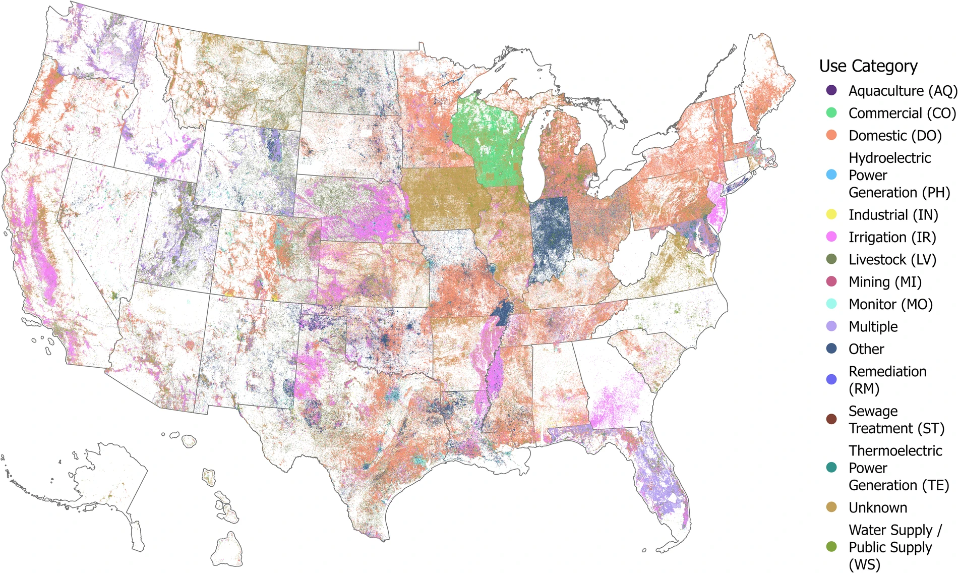
Groundwater wells are vital infrastructure for water supply, environmental monitoring, and economic development, yet the United States previously lacked a unified national database.
The United States Groundwater Well Database compiles more than 14.2 million well records from state and federal agencies, spanning 1763–2023 and standardizing attributes such as purpose, location, depth, and capacity.
Combined with data on land use, canals, reservoirs, and water rights, this resource supports broad assessments of how water infrastructure contributes to national food and water security—and where inequities in resource access persist.